 vesseltracker.com
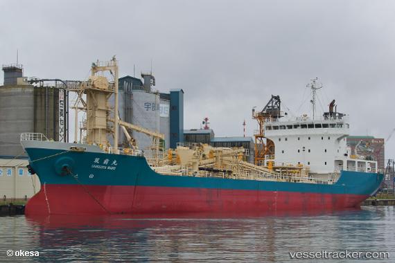
Vessel Chikuzen Maru IMO: 9250672, MMSI: 431401887 Cement Carrier
UTC, 34.75770, 139.24742, course: 46, speed: 12.5
UTC, 35.03119, 139.67068, course: 51, speed: 10.8
2026-01-30 11:32:51 UTC, 35.33500, 139.74167, course: -1, speed: 11
Live AIS position:
UTC. Near Yokosuka),
updated 2026-01-30 11:32:51 UTC.
Find the position of the vessel Chikuzen Maru on the map. The latter are known coordinates and path.
marine traffic ship tracker show on live map
The current position of vessel Chikuzen Maru is 35.33500 lat / 139.74167 lng. Updated: 2026-01-30 11:32:51 UTCCurrently sailing under the flag of Japan
Chikuzen Maru built in 2001 year
Deadweight:
7292 tDetails:
Last coordinates of the vessel:
UTC, 34.57220, 139.01006, course: 48, speed: 10.3UTC, 34.75770, 139.24742, course: 46, speed: 12.5
UTC, 35.03119, 139.67068, course: 51, speed: 10.8
2026-01-30 11:32:51 UTC, 35.33500, 139.74167, course: -1, speed: 11