 vesseltracker.com
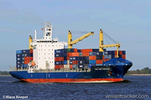
Vessel Chiquita Progress IMO: 9357119, MMSI: 636017731 Container Ship
UTC, 13.92399, -90.78608, course: 340, speed: 0
UTC, 13.83509, -90.86979, course: 260, speed: 14.7
2026-01-29 14:07:28 UTC, 13.83220, -91.54881, course: 284, speed: 17.5
Live AIS position:
UTC. 25 nm W of Sipacate),
updated 2026-01-29 14:07:28 UTC.
Find the position of the vessel Chiquita Progress on the map. The latter are known coordinates and path.
marine traffic ship tracker show on live map
The current position of vessel Chiquita Progress is 13.83220 lat / -91.54881 lng. Updated: 2026-01-29 14:07:28 UTCCurrently sailing under the flag of Liberia
Chiquita Progress built in 2007 year
Deadweight:
30562 tDetails:
Last coordinates of the vessel:
UTC, 13.92399, -90.78609, course: 340, speed: 0UTC, 13.92399, -90.78608, course: 340, speed: 0
UTC, 13.83509, -90.86979, course: 260, speed: 14.7
2026-01-29 14:07:28 UTC, 13.83220, -91.54881, course: 284, speed: 17.5