 vesseltracker.com
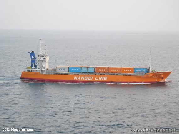
Vessel Chiyomaru IMO: 9810135, MMSI: 431009152 General Cargo Ship
UTC, 26.23850, 127.67938, course: 181, speed: 0
UTC, 26.23845, 127.67937, course: 180, speed: 0
2026-01-28 18:12:10 UTC, 26.23850, 127.67938, course: 181, speed: 0
Live AIS position:
UTC. Near Urazoe, Okinawa),
updated 2026-01-28 18:12:10 UTC.
Find the position of the vessel Chiyomaru on the map. The latter are known coordinates and path.
marine traffic ship tracker show on live map
The current position of vessel Chiyomaru is 26.23850 lat / 127.67938 lng. Updated: 2026-01-28 18:12:10 UTCDetails:
Last coordinates of the vessel:
UTC, 26.23850, 127.67935, course: 181, speed: 0UTC, 26.23850, 127.67938, course: 181, speed: 0
UTC, 26.23845, 127.67937, course: 180, speed: 0
2026-01-28 18:12:10 UTC, 26.23850, 127.67938, course: 181, speed: 0