 vesseltracker.com
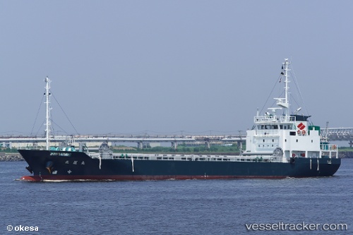
Vessel Choun Maru IMO: 9820611, MMSI: 431009647 General Cargo Ship
UTC, 34.04967, 131.79427, course: 239, speed: 0
UTC, 33.95258, 131.77373, course: 138, speed: 11.6
2026-01-27 15:16:32 UTC, 33.83397, 132.36983, course: 76, speed: 12.7
Live AIS position:
UTC. 11 nm SW of TSUWAJI),
updated 2026-01-27 15:16:32 UTC.
Find the position of the vessel Choun Maru on the map. The latter are known coordinates and path.
marine traffic ship tracker show on live map
The current position of vessel Choun Maru is 33.83397 lat / 132.36983 lng. Updated: 2026-01-27 15:16:32 UTCCurrently sailing under the flag of Japan
Details:
Last coordinates of the vessel:
UTC, 34.04967, 131.79428, course: 239, speed: 0UTC, 34.04967, 131.79427, course: 239, speed: 0
UTC, 33.95258, 131.77373, course: 138, speed: 11.6
2026-01-27 15:16:32 UTC, 33.83397, 132.36983, course: 76, speed: 12.7