 vesseltracker.com
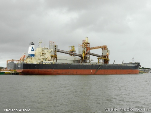
Vessel Chryssa K IMO: 9595852, MMSI: 636017415 Bulk Carrier
UTC, -22.37728, 37.53511, course: 219, speed: 11.6
UTC, -22.62391, 37.31408, course: 216, speed: 11.3
2026-01-30 06:08:05 UTC, -22.99998, 36.98259, course: 221, speed: 11.5
Live AIS position:
UTC. 103 nm NE of Inhambane),
updated 2026-01-30 06:08:05 UTC.
Find the position of the vessel Chryssa K on the map. The latter are known coordinates and path.
marine traffic ship tracker show on live map
The current position of vessel Chryssa K is -22.99998 lat / 36.98259 lng. Updated: 2026-01-30 06:08:05 UTCCurrently sailing under the flag of Liberia
Chryssa K built in 2012 year
Deadweight:
81305 tDetails:
Last coordinates of the vessel:
UTC, -22.12354, 37.76452, course: 215, speed: 12UTC, -22.37728, 37.53511, course: 219, speed: 11.6
UTC, -22.62391, 37.31408, course: 216, speed: 11.3
2026-01-30 06:08:05 UTC, -22.99998, 36.98259, course: 221, speed: 11.5