 vesseltracker.com
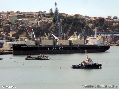
Vessel Cielo Di Angra IMO: 9707742, MMSI: 253068000 Bulk Carrier
Live AIS position:
UTC. Near Serrano),
updated 2023-03-24 15:46:30 UTC.
Find the position of the vessel Cielo Di Angra on the map. The latter are known coordinates and path.
marine traffic ship tracker show on live map
The current position of vessel Cielo Di Angra is 40.28241 lat / 18.62884 lng. Updated: 2023-03-24 15:46:30 UTCCurrently sailing under the flag of Luxembourg
Details:
Last coordinates of the vessel:
2023-03-24 15:46:30 UTC, 40.28241, 18.62884, course: 149, speed: 13.4