 vesseltracker.com
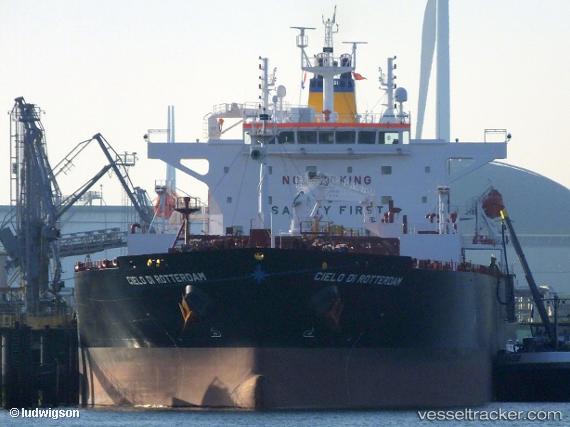
Vessel Cielo Di Rotterdam IMO: 9781279, MMSI: 636018456 Oil Products Tanker
UTC, 37.81582, 9.74637, course: 102, speed: 13.7
UTC, 37.62815, 10.61066, course: 120, speed: 14.8
2026-01-31 11:31:02 UTC, 37.49142, 10.90321, course: 120, speed: 14.7
Live AIS position:
UTC. 40 nm N of Qulaybiyah),
updated 2026-01-31 11:31:02 UTC.
Find the position of the vessel Cielo Di Rotterdam on the map. The latter are known coordinates and path.
marine traffic ship tracker show on live map
The current position of vessel Cielo Di Rotterdam is 37.49142 lat / 10.90321 lng. Updated: 2026-01-31 11:31:02 UTCCurrently sailing under the flag of Liberia
Details:
Last coordinates of the vessel:
UTC, 37.91333, 9.14667, course: -1, speed: 14UTC, 37.81582, 9.74637, course: 102, speed: 13.7
UTC, 37.62815, 10.61066, course: 120, speed: 14.8
2026-01-31 11:31:02 UTC, 37.49142, 10.90321, course: 120, speed: 14.7