 vesseltracker.com
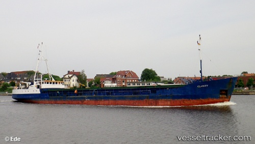
Vessel Clarity IMO: 9390264, MMSI: 341920000 Oil Products Tanker
Live AIS position:
UTC. Near KHORFAKKAN),
updated 2025-02-03 07:10:54 UTC.
Find the position of the vessel Clarity on the map. The latter are known coordinates and path.
marine traffic ship tracker show on live map
The current position of vessel Clarity is 25.36745 lat / 56.50311 lng. Updated: 2025-02-03 07:10:54 UTCDetails:
Last coordinates of the vessel:
2025-02-03 07:10:54 UTC, 25.36745, 56.50311, course: 21, speed: 0