 vesseltracker.com
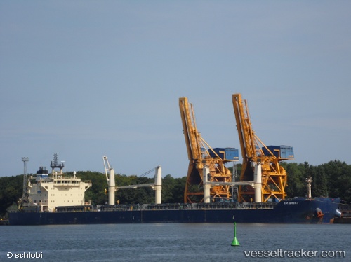
Vessel Clarke Quay IMO: 9483231, MMSI: 636091985 Bulk Carrier
Live AIS position:
UTC. Near Petite-Synthe),
updated 2023-03-23 09:23:01 UTC.
Find the position of the vessel Clarke Quay on the map. The latter are known coordinates and path.
marine traffic ship tracker show on live map
The current position of vessel Clarke Quay is 51.04520 lat / 2.28518 lng. Updated: 2023-03-23 09:23:01 UTCCurrently sailing under the flag of Liberia
Clarke Quay built in 2010 year
Deadweight:
55618 tDetails:
Last coordinates of the vessel:
2023-03-23 09:23:01 UTC, 51.04520, 2.28518, course: 76, speed: 0