 vesseltracker.com
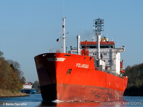
Vessel Claudia Gas IMO: 8813087, MMSI: 636017205 Lpg Tanker
Live AIS position:
UTC. Near Bur Safaga),
updated 2025-12-24 10:36:23 UTC.
Find the position of the vessel Claudia Gas on the map. The latter are known coordinates and path.
marine traffic ship tracker show on live map
The current position of vessel Claudia Gas is 26.73833 lat / 33.94333 lng. Updated: 2025-12-24 10:36:23 UTCCurrently sailing under the flag of Liberia
Claudia Gas built in 1990 year
Deadweight:
16137 tDetails:
Last coordinates of the vessel:
2025-12-24 10:36:23 UTC, 26.73833, 33.94333, course: -1, speed: 0