 vesseltracker.com
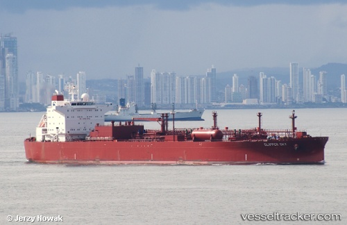
Vessel Clipper Sky IMO: 9277943, MMSI: 257309000 Lpg Tanker
UTC, 24.81833, -88.85167, course: -1, speed: 11
UTC, 24.85500, -89.04833, course: -1, speed: 10
2026-02-01 03:45:39 UTC, 24.97772, -89.57264, course: 290, speed: 12.8
Live AIS position:
UTC. 101 nm NE of Munshiganj),
updated 2026-02-01 03:45:39 UTC.
Find the position of the vessel Clipper Sky on the map. The latter are known coordinates and path.
marine traffic ship tracker show on live map
The current position of vessel Clipper Sky is 24.97772 lat / -89.57264 lng. Updated: 2026-02-01 03:45:39 UTCDetails:
Last coordinates of the vessel:
UTC, 24.70667, -88.29833, course: -1, speed: 8UTC, 24.81833, -88.85167, course: -1, speed: 11
UTC, 24.85500, -89.04833, course: -1, speed: 10
2026-02-01 03:45:39 UTC, 24.97772, -89.57264, course: 290, speed: 12.8