 vesseltracker.com
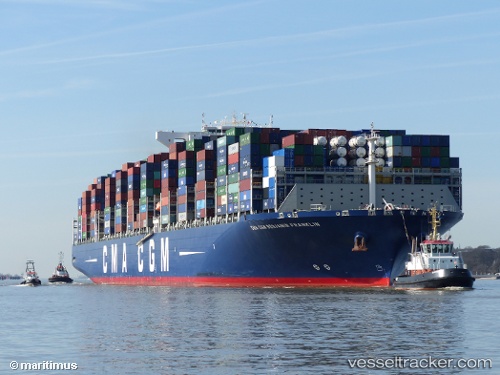
Vessel Cma Cgm B Franklin IMO: 9706891, MMSI: 215195000 Container Ship
UTC, 47.7428, -6.71248, course: 219, speed: 14.9
UTC, 47.1858, -7.22193, course: 218, speed: 14.9
2026-02-01 10:02:03 UTC, 46.7723, -7.61797, course: 215, speed: 15.3
Live AIS position:
UTC. 29 nm NE of Boboras),
updated 2026-02-01 10:02:03 UTC.
Find the position of the vessel Cma Cgm B Franklin on the map. The latter are known coordinates and path.
marine traffic ship tracker show on live map
The current position of vessel Cma Cgm B Franklin is 46.7723 lat / -7.61797 lng. Updated: 2026-02-01 10:02:03 UTCCurrently sailing under the flag of Malta
Details:
Last coordinates of the vessel:
UTC, 48.079, -6.45055, course: 214, speed: 14UTC, 47.7428, -6.71248, course: 219, speed: 14.9
UTC, 47.1858, -7.22193, course: 218, speed: 14.9
2026-02-01 10:02:03 UTC, 46.7723, -7.61797, course: 215, speed: 15.3