 vesseltracker.com
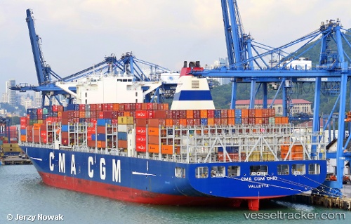
Vessel Cma Cgm Ohio IMO: 9722687, MMSI: 249167000 Container Ship
UTC, 14.48485, 112.35410, course: 34, speed: 13.5
UTC, 14.82333, 112.53667, course: -1, speed: 14
2026-02-24 10:30:55 UTC, 15.35405, 112.85135, course: 29, speed: 13.3
Live AIS position:
UTC. 200 nm NE of Tan Cang Qui Nhon),
updated 2026-02-24 10:30:55 UTC.
Find the position of the vessel Cma Cgm Ohio on the map. The latter are known coordinates and path.
marine traffic ship tracker show on live map
The current position of vessel Cma Cgm Ohio is 15.35405 lat / 112.85135 lng. Updated: 2026-02-24 10:30:55 UTCDetails:
Last coordinates of the vessel:
UTC, 14.04965, 112.08932, course: 30, speed: 13.1UTC, 14.48485, 112.35410, course: 34, speed: 13.5
UTC, 14.82333, 112.53667, course: -1, speed: 14
2026-02-24 10:30:55 UTC, 15.35405, 112.85135, course: 29, speed: 13.3