 vesseltracker.com
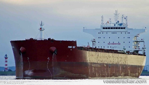
Vessel Cora Oldendorff IMO: 9622916, MMSI: 636092742 Bulk Carrier
UTC, 75.72365, -148.54594, course: 8, speed: 60.6
2026-02-03 00:28:47 UTC, 75.72365, -148.54594, course: 8, speed: 60.6
Live AIS position:
UTC. 300 nm NE of Point Barrow),
updated 2026-02-03 00:28:47 UTC.
Find the position of the vessel Cora Oldendorff on the map. The latter are known coordinates and path.
marine traffic ship tracker show on live map
The current position of vessel Cora Oldendorff is 75.72365 lat / -148.54594 lng. Updated: 2026-02-03 00:28:47 UTCDetails:
Last coordinates of the vessel:
UTC, 75.72365, -148.54594, course: 8, speed: 60.6UTC, 75.72365, -148.54594, course: 8, speed: 60.6
2026-02-03 00:28:47 UTC, 75.72365, -148.54594, course: 8, speed: 60.6