 vesseltracker.com
Find the position of the vessel Defiance on the map. The latter are known coordinates and path.
marine traffic ship tracker show on live map
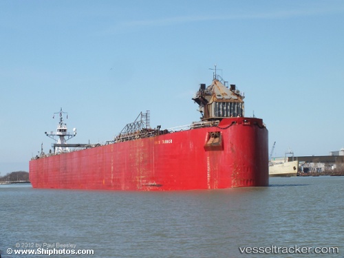
The current position of vessel Defiance is 46.99667 lat / -85.74166 lng. Updated: 2025-11-10 20:21:16 UTCCurrently sailing under the flag of USA
Defiance built in 1982 year
Deadweight:
661 tDetails:
Last coordinates of the vessel:
UTC, 46.84333, -85.16500, course: -1, speed: 9UTC, 46.87548, -85.28312, course: 294, speed: 10.2
UTC, 46.97518, -85.65442, course: 292, speed: 10.2
2025-11-10 20:21:16 UTC, 46.99667, -85.74166, course: -1, speed: 10