 vesseltracker.com
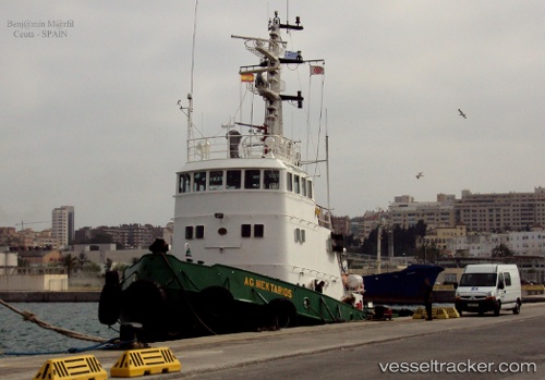
Find the position of the vessel HADJ HAMED on the map. The latter are known coordinates and path.
marine traffic ship tracker show on live map
The current position of vessel HADJ HAMED is 37.1581 lat / 9.80863 lng. Updated: 2024-04-24 10:26:34 UTCCurrently sailing under the flag of Tunisia
HADJ HAMED built in 1972 year
Deadweight:
173 tGross tonnage:
318Service entry:
1972-01-01T00:00:00ZDetails:
Last coordinates of the vessel:
UTC, 37.1581, 9.80861, course: -1, speed: 0UTC, 37.1581, 9.80863, course: -1, speed: 0
UTC, 37.1581, 9.80863, course: -1, speed: 0
UTC, 37.1581, 9.80863, course: -1, speed: 0
2024-04-24 10:26:34 UTC, 37.1581, 9.80863, course: -1, speed: 0