 vesseltracker.com
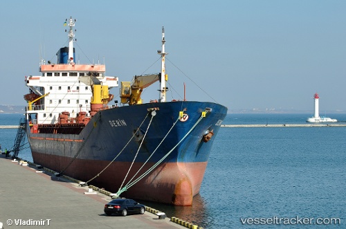
Find the position of the vessel Derin on the map. The latter are known coordinates and path.
marine traffic ship tracker show on live map
The current position of vessel Derin is 31.24738 lat / 125.05405 lng. Updated: 2025-11-09 02:28:54 UTCCurrently sailing under the flag of Turkey
Derin built in 1991 year
Deadweight:
8379 tDetails:
Last coordinates of the vessel:
UTC, 31.24738, 125.05405, course: -1, speed: 1.6UTC, 31.24738, 125.05405, course: -1, speed: 1.6
UTC, 31.24738, 125.05405, course: -1, speed: 1.6
2025-11-09 02:28:54 UTC, 31.24738, 125.05405, course: -1, speed: 1.6