 vesseltracker.com
Find the position of the vessel Diana J on the map. The latter are known coordinates and path.
marine traffic ship tracker show on live map
The current position of vessel Diana J is 25.76896 lat / -80.16602 lng. Updated: 2025-06-02 11:57:49 UTCCurrently sailing under the flag of Antigua Barbuda
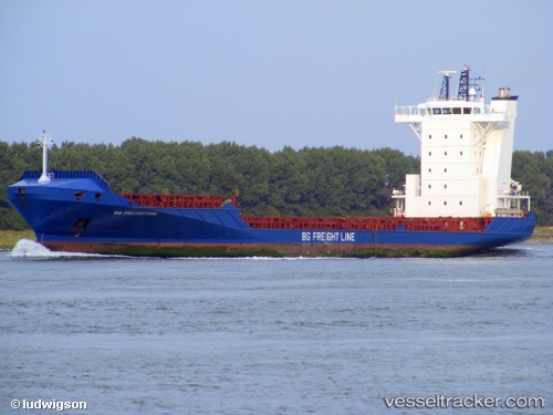
Diana J built in 2006 year
Deadweight:
11005 tDetails:
Last coordinates of the vessel:
2025-06-02 11:57:49 UTC, 25.76896, -80.16602, course: 296, speed: 0