 vesseltracker.com
Find the position of the vessel Dobrota on the map. The latter are known coordinates and path.
marine traffic ship tracker show on live map
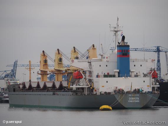
The current position of vessel Dobrota is 36.00997 lat / 14.39918 lng. Updated: 2024-03-27 10:02:24 UTCCurrently sailing under the flag of St Vincent Grenadines
Dobrota built in 2005 year
Deadweight:
31894 tDetails:
Last coordinates of the vessel:
2024-03-27 10:02:24 UTC, 36.00997, 14.39918, course: 342, speed: 0.2