 vesseltracker.com
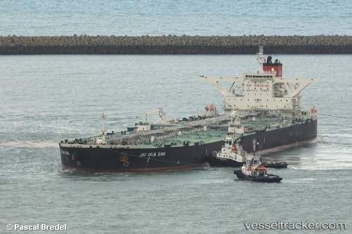
Vessel ELIZA II IMO: 9418078, MMSI: 636020864 Crude Oil Tanker
Live AIS position:
UTC. Open sea (no nearby ports in database)),
updated 2026-01-03 08:48:41 UTC.
Find the position of the vessel ELIZA II on the map. The latter are known coordinates and path.
marine traffic ship tracker show on live map
The current position of vessel ELIZA II is 87.77261 lat / -77.52660 lng. Updated: 2026-01-03 08:48:41 UTCCurrently sailing under the flag of Liberia
ELIZA II built in 2009 year
Deadweight:
317977 tDetails:
Last coordinates of the vessel:
2026-01-03 08:48:41 UTC, 87.77261, -77.52660, course: 358, speed: 79.9