 vesseltracker.com
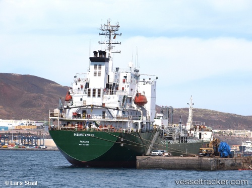
Vessel '671294100' IMO: 9127291, MMSI: 671294100
UTC, 25.00128, 56.77989, course: 18, speed: 5.9
UTC, 25.12309, 56.84862, course: 35, speed: 5.9
2026-02-07 06:12:40 UTC, 25.33115, 56.86710, course: 344, speed: 6.1
Live AIS position:
UTC. 12 nm NE of Offshore Fujairah),
updated 2026-02-07 06:12:40 UTC.
Find the position of the vessel '671294100' on the map. The latter are known coordinates and path.
marine traffic ship tracker show on live map
The current position of vessel '671294100' is 25.33115 lat / 56.86710 lng. Updated: 2026-02-07 06:12:40 UTCDetails:
Last coordinates of the vessel:
UTC, 24.74870, 56.82148, course: 329, speed: 6.1UTC, 25.00128, 56.77989, course: 18, speed: 5.9
UTC, 25.12309, 56.84862, course: 35, speed: 5.9
2026-02-07 06:12:40 UTC, 25.33115, 56.86710, course: 344, speed: 6.1