 vesseltracker.com
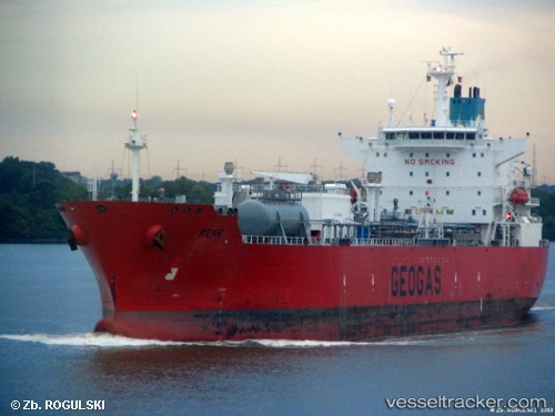
Vessel EMILIA IMO: 9242209, MMSI: 323150000 LPG Tanker
UTC, 23.13522, -82.32935, course: 110, speed: 0
UTC, 23.13522, -82.32935, course: 110, speed: 0
2026-02-09 19:55:50 UTC, 23.13522, -82.32935, course: 110, speed: 0
Live AIS position:
UTC. Near Habana),
updated 2026-02-09 19:55:50 UTC.
Find the position of the vessel EMILIA on the map. The latter are known coordinates and path.
marine traffic ship tracker show on live map
The current position of vessel EMILIA is 23.13522 lat / -82.32935 lng. Updated: 2026-02-09 19:55:50 UTCCurrently sailing under the flag of Cuba
EMILIA built in 2002 year
Deadweight:
28095 tDetails:
Last coordinates of the vessel:
UTC, 23.13522, -82.32935, course: 110, speed: 0UTC, 23.13522, -82.32935, course: 110, speed: 0
UTC, 23.13522, -82.32935, course: 110, speed: 0
2026-02-09 19:55:50 UTC, 23.13522, -82.32935, course: 110, speed: 0