 vesseltracker.com
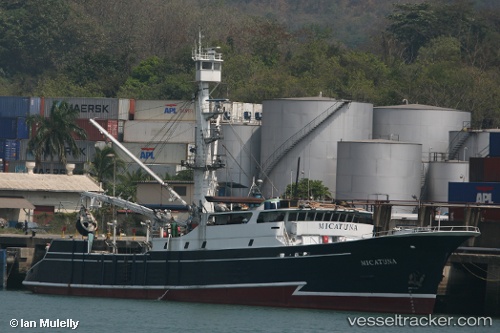
Vessel EMILIO IMO: 7235628, MMSI: 735059291 Fishing Vessel
UTC, -0.92833, -80.70667, course: -1, speed: 0
UTC, -0.92833, -80.70667, course: -1, speed: 0
2026-02-10 12:05:40 UTC, -0.92833, -80.70667, course: -1, speed: 0
Live AIS position:
UTC. Near MANTA),
updated 2026-02-10 12:05:40 UTC.
Find the position of the vessel EMILIO on the map. The latter are known coordinates and path.
marine traffic ship tracker show on live map
The current position of vessel EMILIO is -0.92833 lat / -80.70667 lng. Updated: 2026-02-10 12:05:40 UTCCurrently sailing under the flag of Ecuador
EMILIO built in 1973 year
Deadweight:
0 tDetails:
Last coordinates of the vessel:
UTC, -0.92833, -80.70667, course: -1, speed: 0UTC, -0.92833, -80.70667, course: -1, speed: 0
UTC, -0.92833, -80.70667, course: -1, speed: 0
2026-02-10 12:05:40 UTC, -0.92833, -80.70667, course: -1, speed: 0