 vesseltracker.com
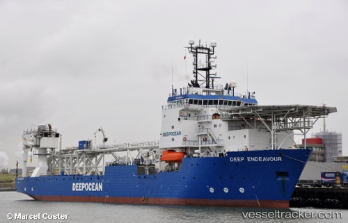
Vessel ENDEAVOUR IMO: 9203306, MMSI: 538009032 Offshore Support Vessel
UTC, -12.42500, 173.07500, course: -1, speed: 8
UTC, -12.77050, 173.24129, course: 153, speed: 8.6
2026-01-31 08:02:27 UTC, -13.01057, 173.36110, course: 150, speed: 8.8
Live AIS position:
UTC. 329 nm NE of Maéwo),
updated 2026-01-31 08:02:27 UTC.
Find the position of the vessel ENDEAVOUR on the map. The latter are known coordinates and path.
marine traffic ship tracker show on live map
The current position of vessel ENDEAVOUR is -13.01057 lat / 173.36110 lng. Updated: 2026-01-31 08:02:27 UTCCurrently sailing under the flag of Marshall Islands
ENDEAVOUR built in 1999 year
Deadweight:
8376 tDetails:
Last coordinates of the vessel:
UTC, -12.17211, 172.94797, course: 160, speed: 9UTC, -12.42500, 173.07500, course: -1, speed: 8
UTC, -12.77050, 173.24129, course: 153, speed: 8.6
2026-01-31 08:02:27 UTC, -13.01057, 173.36110, course: 150, speed: 8.8