 vesseltracker.com
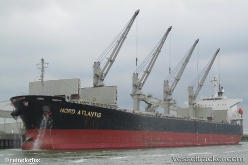
Vessel ENY IMO: 9382695, MMSI: 440106000 Bulk Carrier
UTC, 3.25729, 113.07479, course: 96, speed: 0
UTC, 3.25729, 113.07482, course: 96, speed: 0
2026-02-01 07:46:36 UTC, 3.25729, 113.07479, course: 96, speed: 0
Live AIS position:
UTC. Near BINTULU),
updated 2026-02-01 07:46:36 UTC.
Find the position of the vessel ENY on the map. The latter are known coordinates and path.
marine traffic ship tracker show on live map
The current position of vessel ENY is 3.25729 lat / 113.07479 lng. Updated: 2026-02-01 07:46:36 UTCCurrently sailing under the flag of Korea (Republic of)
ENY built in 2006 year
Deadweight:
53525 tDetails:
Last coordinates of the vessel:
UTC, 3.25728, 113.07478, course: 96, speed: 0UTC, 3.25729, 113.07479, course: 96, speed: 0
UTC, 3.25729, 113.07482, course: 96, speed: 0
2026-02-01 07:46:36 UTC, 3.25729, 113.07479, course: 96, speed: 0