 vesseltracker.com
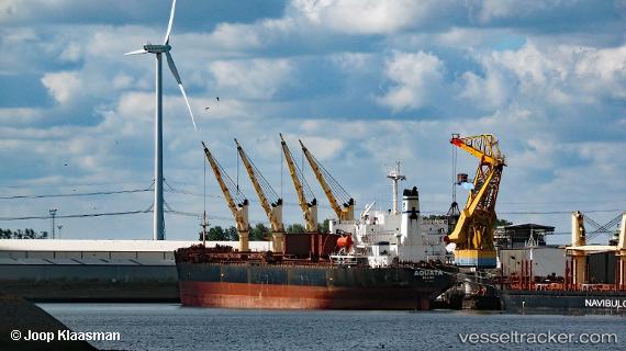
Find the position of the vessel ERIN on the map. The latter are known coordinates and path.
marine traffic ship tracker show on live map
The current position of vessel ERIN is -14.12231 lat / 44.91550 lng. Updated: 2025-11-06 02:02:43 UTCCurrently sailing under the flag of Panama
ERIN built in 1999 year
Deadweight:
46685 tDetails:
Last coordinates of the vessel:
UTC, -13.84106, 45.30644, course: 240, speed: 9UTC, -13.92922, 45.18018, course: 240, speed: 9.1
UTC, -14.05131, 45.01392, course: 243, speed: 9.1
2025-11-06 02:02:43 UTC, -14.12231, 44.91550, course: 243, speed: 9.1