 vesseltracker.com
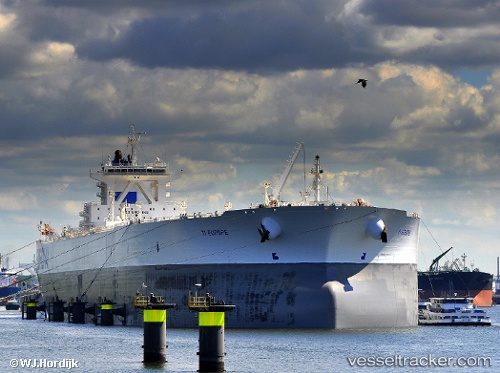
Vessel SA EUROPE IMO: 9235268, MMSI: 311001699 Crude Oil Tanker
UTC, 1.28516, 103.42388, course: 157, speed: 0
UTC, 1.28477, 103.42315, course: 142, speed: 0
2026-03-04 12:14:56 UTC, 1.28443, 103.42398, course: 142, speed: 0
Live Vessel SA EUROPE Analytics (details, animations, etc.)
Live AIS position: UTC. Near TANJUNG PELEPAS), updated 2026-03-04 12:14:56 UTC.Find the position of the vessel SA EUROPE on the map. The latter are known coordinates and path.
marine traffic ship tracker show on live map
The current position of vessel SA EUROPE is 1.28443 lat / 103.42398 lng. Updated: 2026-03-04 12:14:56 UTCCurrently sailing under the flag of Bahamas
Details:
Last coordinates of the vessel:
UTC, 1.28333, 103.42667, course: -1, speed: 0UTC, 1.28516, 103.42388, course: 157, speed: 0
UTC, 1.28477, 103.42315, course: 142, speed: 0
2026-03-04 12:14:56 UTC, 1.28443, 103.42398, course: 142, speed: 0