 vesseltracker.com
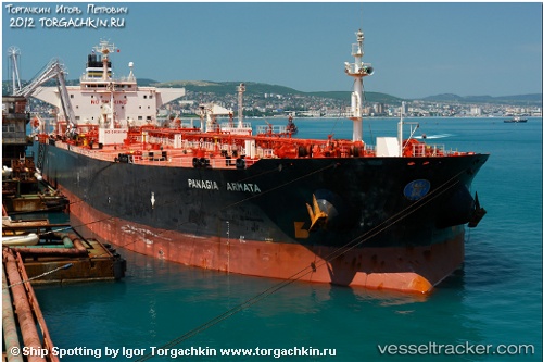
Vessel EVEREST IMO: 9180126, MMSI: 374867000 Crude Oil Tanker
UTC, 12.97746, -68.72208, course: 47, speed: 0.3
UTC, 12.96704, -68.72292, course: 59, speed: 0.3
2026-02-11 22:15:45 UTC, 12.95500, -68.72333, course: -1, speed: 0
Live AIS position:
UTC. 49 nm NW of Goto),
updated 2026-02-11 22:15:45 UTC.
Find the position of the vessel EVEREST on the map. The latter are known coordinates and path.
marine traffic ship tracker show on live map
The current position of vessel EVEREST is 12.95500 lat / -68.72333 lng. Updated: 2026-02-11 22:15:45 UTCCurrently sailing under the flag of Panama
EVEREST built in 1998 year
Deadweight:
98774 tDetails:
Last coordinates of the vessel:
UTC, 12.99065, -68.72103, course: 47, speed: 0.3UTC, 12.97746, -68.72208, course: 47, speed: 0.3
UTC, 12.96704, -68.72292, course: 59, speed: 0.3
2026-02-11 22:15:45 UTC, 12.95500, -68.72333, course: -1, speed: 0