 vesseltracker.com
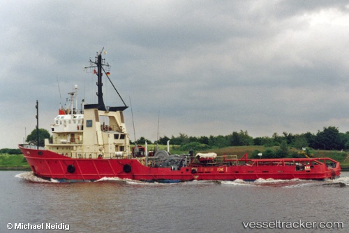
Vessel Eas IMO: 7403146, MMSI: 209005000 Tug
UTC, 51.95080, 3.54454, course: 76, speed: 7.7
2026-01-22 11:30:26 UTC, 52.39768, 3.87888, course: 12, speed: 7.8
Live AIS position:
UTC. Near de Ruyter),
updated 2026-01-22 11:30:26 UTC.
Find the position of the vessel Eas on the map. The latter are known coordinates and path.
marine traffic ship tracker show on live map
The current position of vessel Eas is 52.39768 lat / 3.87888 lng. Updated: 2026-01-22 11:30:26 UTCDetails:
Last coordinates of the vessel:
UTC, 51.15099, 1.87614, course: 61, speed: 5.8UTC, 51.95080, 3.54454, course: 76, speed: 7.7
2026-01-22 11:30:26 UTC, 52.39768, 3.87888, course: 12, speed: 7.8