 vesseltracker.com
Find the position of the vessel East Wind I on the map. The latter are known coordinates and path.
marine traffic ship tracker show on live map
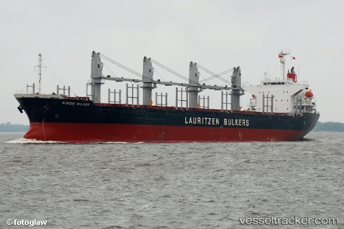
The current position of vessel East Wind I is 42.1882 lat / 33.1163 lng. Updated: 2025-06-12 21:12:50 UTCCurrently sailing under the flag of Panama
Port of registry:
Majuro (capital of the Marshall Islands)Gross tonnage:
16966Service entry:
2002-01-01T00:00:00ZManufacturer:
Imabari Shipbuilding (Japanese shipbuilder)
Details:
Last coordinates of the vessel:
UTC, 42.4068, 33.6603, course: 234, speed: 9.8UTC, 42.3226, 33.4726, course: 239, speed: 9.7
UTC, 42.2908, 33.3986, course: 239, speed: 9.4
2025-06-12 21:12:50 UTC, 42.1882, 33.1163, course: 250, speed: 8.8
Track of the vessel in the last 14 days
The ship also appears on the maps: