 vesseltracker.com
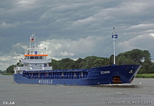
Vessel WILSON DUNDALK IMO: 9496587, MMSI: 255915954 General Cargo
UTC, 50.14018, -0.92497, course: -1, speed: 6.4
UTC, 50.19675, -0.63221, course: 78, speed: 6.7
2026-03-08 05:47:53 UTC, 50.24832, -0.28688, course: 76, speed: 6.8
Live Vessel WILSON DUNDALK Analytics (details, animations, etc.)
Live AIS position: UTC. 34 nm S of Ferring), updated 2026-03-08 05:47:53 UTC.Find the position of the vessel WILSON DUNDALK on the map. The latter are known coordinates and path.
marine traffic ship tracker show on live map
The current position of vessel WILSON DUNDALK is 50.24832 lat / -0.28688 lng. Updated: 2026-03-08 05:47:53 UTCCurrently sailing under the flag of Portugal
Details:
Last coordinates of the vessel:
UTC, 50.09145, -1.19796, course: -1, speed: 6.1UTC, 50.14018, -0.92497, course: -1, speed: 6.4
UTC, 50.19675, -0.63221, course: 78, speed: 6.7
2026-03-08 05:47:53 UTC, 50.24832, -0.28688, course: 76, speed: 6.8