 vesseltracker.com
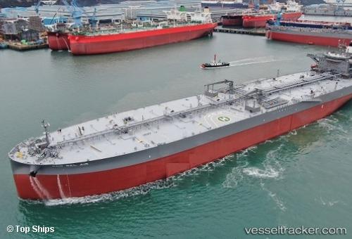
Vessel Eco Bel Air IMO: 9794056, MMSI: 538090575 Crude Oil Tanker
Live AIS position:
UTC. Near Boseong-gun),
updated 2025-12-15 23:43:19 UTC.
Find the position of the vessel Eco Bel Air on the map. The latter are known coordinates and path.
marine traffic ship tracker show on live map
The current position of vessel Eco Bel Air is 34.74786 lat / 127.78960 lng. Updated: 2025-12-15 23:43:19 UTCCurrently sailing under the flag of Marshall Islands
Details:
Last coordinates of the vessel:
2025-12-15 23:43:19 UTC, 34.74786, 127.78960, course: 10, speed: 0