 vesseltracker.com
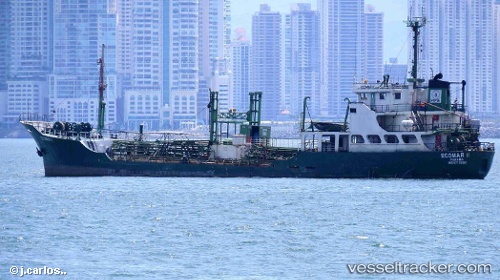
Vessel 'ECOMAR II' IMO: 7735381, MMSI: 671199100
Live AIS position:
UTC. Near Callao),
updated 2024-08-19 12:49:40 UTC.
Find the position of the vessel 'ECOMAR II' on the map. The latter are known coordinates and path.
marine traffic ship tracker show on live map
The current position of vessel 'ECOMAR II' is -12.01164 lat / -77.17593 lng. Updated: 2024-08-19 12:49:40 UTCDetails:
Last coordinates of the vessel:
2024-08-19 12:49:40 UTC, -12.01164, -77.17593, course: 153, speed: 0