 vesseltracker.com
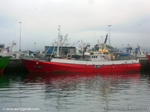
Vessel Eder Sands IMO: 7326051, MMSI: 232006590 Fishing Vessel
UTC, 52.42333, -14.70167, course: -1, speed: 1
UTC, 52.47099, -14.67995, course: 8, speed: 0.7
2026-02-14 01:37:27 UTC, 52.57667, -14.65167, course: -1, speed: 8
Live AIS position:
UTC. 81 nm N of Nebelschütz),
updated 2026-02-14 01:37:27 UTC.
Find the position of the vessel Eder Sands on the map. The latter are known coordinates and path.
marine traffic ship tracker show on live map
The current position of vessel Eder Sands is 52.57667 lat / -14.65167 lng. Updated: 2026-02-14 01:37:27 UTCDetails:
Last coordinates of the vessel:
UTC, 52.47667, -14.64667, course: -1, speed: 8UTC, 52.42333, -14.70167, course: -1, speed: 1
UTC, 52.47099, -14.67995, course: 8, speed: 0.7
2026-02-14 01:37:27 UTC, 52.57667, -14.65167, course: -1, speed: 8