 vesseltracker.com
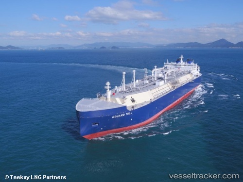
Vessel Eduard Toll IMO: 9750696, MMSI: 311000548 Lng Tanker
UTC, 76.41761, 56.55110, course: 244, speed: 19.1
UTC, 76.09932, 53.63667, course: 246, speed: 19
2026-02-13 14:57:19 UTC, 75.99768, 52.70388, course: 246, speed: 19
Live AIS position:
UTC. 160 nm N of Matochkin Shar),
updated 2026-02-13 14:57:19 UTC.
Find the position of the vessel Eduard Toll on the map. The latter are known coordinates and path.
marine traffic ship tracker show on live map
The current position of vessel Eduard Toll is 75.99768 lat / 52.70388 lng. Updated: 2026-02-13 14:57:19 UTCCurrently sailing under the flag of Bahamas
Details:
Last coordinates of the vessel:
UTC, 76.71167, 59.67333, course: -1, speed: 18UTC, 76.41761, 56.55110, course: 244, speed: 19.1
UTC, 76.09932, 53.63667, course: 246, speed: 19
2026-02-13 14:57:19 UTC, 75.99768, 52.70388, course: 246, speed: 19