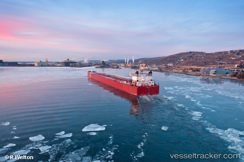
vessel Edwin H. Gott IMO: 7606061, Self Discharging Bulk Carrier
Vessel Edwin H. Gott IMO: 7606061, Self Discharging Bulk Carrier
MMSI: 366971370 callsign: WDH7558 size: 305x306

Find the position of the vessel Edwin H. Gott on the map. The latter are known coordinates and path.

marine traffic ship tracker show on live map

The current position of vessel Edwin H. Gott is 46.2683 lat / -84.1933 lng. Updated: 2024-04-20 04:39:10 UTC

Currently sailing under the flag of USA

Port of registry:
Duluth (city in Minnesota, United States; county seat of St. Louis County)
Powered by:
MaK 8M43C (marine diesel engine model)
Service entry:
1979-01-01T00:00:00Z

Manufacturer:
Bay Shipbuilding Company (shipyard and dry dock company in Sturgeon Bay, Door County, Wisconsin)

Details:


Last coordinates of the vessel:
UTC, 46.5017, -84.3533, course: -1, speed: 0
UTC, 46.3287, -84.2141, course: 181, speed: 6.2
UTC, 46.2833, -84.21, course: -1, speed: 4
2024-04-20 04:39:10 UTC, 46.2683, -84.1933, course: -1, speed: 5

Track of the vessel in the last 14 days


Most frequent ports a vessels calls at Edwin H. Gott (366971370):


Link to the map:


Find another ship

Edwin_H._Gott (366971370) last ports (portcalls and passsages)