 vesseltracker.com
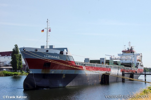
Vessel Eemsborg IMO: 9423748, MMSI: 245278000 General Cargo Ship
UTC, 51.89900, -8.45900, course: 256, speed: 0
UTC, 51.89900, -8.45900, course: 255, speed: 0.1
2026-02-12 16:31:53 UTC, 51.89900, -8.45900, course: 255, speed: 0
Live AIS position:
UTC. Near Cork),
updated 2026-02-12 16:31:53 UTC.
Find the position of the vessel Eemsborg on the map. The latter are known coordinates and path.
marine traffic ship tracker show on live map
The current position of vessel Eemsborg is 51.89900 lat / -8.45900 lng. Updated: 2026-02-12 16:31:53 UTCCurrently sailing under the flag of Netherlands
Eemsborg built in 2009 year
Deadweight:
10750 tDetails:
Last coordinates of the vessel:
UTC, 51.89900, -8.45900, course: 256, speed: 0UTC, 51.89900, -8.45900, course: 256, speed: 0
UTC, 51.89900, -8.45900, course: 255, speed: 0.1
2026-02-12 16:31:53 UTC, 51.89900, -8.45900, course: 255, speed: 0