 vesseltracker.com
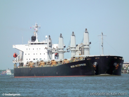
Vessel Eider S IMO: 9364784, MMSI: 636019052 Bulk Carrier
UTC, -25.57017, 47.17787, course: 52, speed: 6.9
UTC, -25.45471, 47.42001, course: 56, speed: 7.7
2026-02-12 05:38:22 UTC, -25.35303, 47.61794, course: 48, speed: 7.9
Live AIS position:
UTC. 38 nm SE of Fort Dauphin),
updated 2026-02-12 05:38:22 UTC.
Find the position of the vessel Eider S on the map. The latter are known coordinates and path.
marine traffic ship tracker show on live map
The current position of vessel Eider S is -25.35303 lat / 47.61794 lng. Updated: 2026-02-12 05:38:22 UTCDetails:
Last coordinates of the vessel:
UTC, -25.66150, 46.96957, course: 59, speed: 8.1UTC, -25.57017, 47.17787, course: 52, speed: 6.9
UTC, -25.45471, 47.42001, course: 56, speed: 7.7
2026-02-12 05:38:22 UTC, -25.35303, 47.61794, course: 48, speed: 7.9