 vesseltracker.com
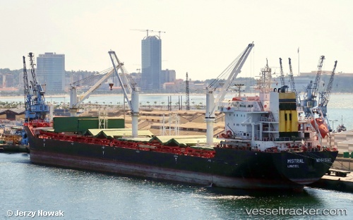
Vessel EIDER IMO: 9415143, MMSI: 304521000 Bulk Carrier
UTC, 20.01067, -75.84638, course: 34, speed: 0
UTC, 20.01069, -75.84641, course: 34, speed: 0
UTC, 20.01069, -75.84641, course: 34, speed: 0
2026-01-23 22:47:15 UTC, 20.01069, -75.84641, course: 34, speed: 0
Live AIS position:
UTC. Near Santiago De Cuba),
updated 2026-01-23 22:47:15 UTC.
Find the position of the vessel EIDER on the map. The latter are known coordinates and path.
marine traffic ship tracker show on live map
The current position of vessel EIDER is 20.01069 lat / -75.84641 lng. Updated: 2026-01-23 22:47:15 UTCCurrently sailing under the flag of Antigua Barbuda
EIDER built in 2010 year
Deadweight:
29859 tDetails:
Last coordinates of the vessel:
UTC, 20.01067, -75.84638, course: 34, speed: 0UTC, 20.01067, -75.84638, course: 34, speed: 0
UTC, 20.01069, -75.84641, course: 34, speed: 0
UTC, 20.01069, -75.84641, course: 34, speed: 0
2026-01-23 22:47:15 UTC, 20.01069, -75.84641, course: 34, speed: 0