 vesseltracker.com
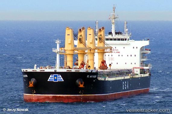
Vessel El Matador IMO: 9750048, MMSI: 212583000 Bulk Carrier
UTC, 25.50240, -44.54034, course: 64, speed: 10.7
UTC, 25.65409, -44.20834, course: 65, speed: 11.2
2026-02-10 07:22:49 UTC, 25.76199, -43.96542, course: 65, speed: 11.2
Live AIS position:
UTC. 304 nm N of Upper Northfield),
updated 2026-02-10 07:22:49 UTC.
Find the position of the vessel El Matador on the map. The latter are known coordinates and path.
marine traffic ship tracker show on live map
The current position of vessel El Matador is 25.76199 lat / -43.96542 lng. Updated: 2026-02-10 07:22:49 UTCCurrently sailing under the flag of Cyprus
Details:
Last coordinates of the vessel:
UTC, 25.27189, -45.04461, course: 66, speed: 11.1UTC, 25.50240, -44.54034, course: 64, speed: 10.7
UTC, 25.65409, -44.20834, course: 65, speed: 11.2
2026-02-10 07:22:49 UTC, 25.76199, -43.96542, course: 65, speed: 11.2