 vesseltracker.com
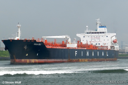
Vessel Elandra Blu IMO: 9396749, MMSI: 636019384 Chemical Oil Products Tanker
Live AIS position:
UTC. 105 nm SW of Porto Grande),
updated 2026-02-02 23:11:30 UTC.
Find the position of the vessel Elandra Blu on the map. The latter are known coordinates and path.
marine traffic ship tracker show on live map
The current position of vessel Elandra Blu is 15.55637 lat / -26.21191 lng. Updated: 2026-02-02 23:11:30 UTCCurrently sailing under the flag of Liberia
Elandra Blu built in 2008 year
Deadweight:
50695 tDetails:
Last coordinates of the vessel:
2026-02-02 23:11:30 UTC, 15.55637, -26.21191, course: 4, speed: 66.7