 vesseltracker.com
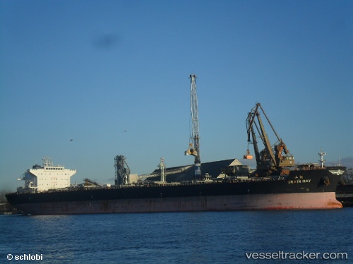
Vessel Electra IMO: 9661223, MMSI: 538007492 Bulk Carrier
UTC, 7.57833, 120.00167, course: -1, speed: 9
UTC, 7.67333, 119.73833, course: -1, speed: 9
2026-02-09 15:23:30 UTC, 7.74167, 119.54833, course: -1, speed: 9
Live AIS position:
UTC. 112 nm SE of Batonbaton),
updated 2026-02-09 15:23:30 UTC.
Find the position of the vessel Electra on the map. The latter are known coordinates and path.
marine traffic ship tracker show on live map
The current position of vessel Electra is 7.74167 lat / 119.54833 lng. Updated: 2026-02-09 15:23:30 UTCCurrently sailing under the flag of Marshall Is
Details:
Last coordinates of the vessel:
UTC, 7.57833, 120.00167, course: -1, speed: 9UTC, 7.57833, 120.00167, course: -1, speed: 9
UTC, 7.67333, 119.73833, course: -1, speed: 9
2026-02-09 15:23:30 UTC, 7.74167, 119.54833, course: -1, speed: 9