 vesseltracker.com
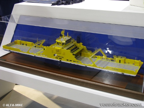
Vessel Elektra IMO: 9806328, MMSI: 230668000 Passenger Ro Ro Cargo Ship
UTC, 60.22186, 22.09809, course: 244, speed: 0
UTC, 60.22185, 22.09812, course: 244, speed: 0
2026-02-10 00:04:13 UTC, 60.22188, 22.09810, course: 244, speed: 0
Live AIS position:
UTC. Near Nagu (Nauvo)),
updated 2026-02-10 00:04:13 UTC.
Find the position of the vessel Elektra on the map. The latter are known coordinates and path.
marine traffic ship tracker show on live map
The current position of vessel Elektra is 60.22188 lat / 22.09810 lng. Updated: 2026-02-10 00:04:13 UTCCurrently sailing under the flag of Finland
Details:
Last coordinates of the vessel:
UTC, 60.22186, 22.09807, course: 244, speed: 0UTC, 60.22186, 22.09809, course: 244, speed: 0
UTC, 60.22185, 22.09812, course: 244, speed: 0
2026-02-10 00:04:13 UTC, 60.22188, 22.09810, course: 244, speed: 0