 vesseltracker.com
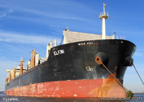
Vessel Eleni IMO: 9460277, MMSI: 538003960 Bulk Carrier
UTC, 40.71209, 29.46620, course: 123, speed: 0
UTC, 40.71209, 29.46618, course: 123, speed: 0
2026-02-09 03:24:00 UTC, 40.71211, 29.46618, course: 123, speed: 0
Live AIS position:
UTC. Near YALOVA),
updated 2026-02-09 03:24:00 UTC.
Find the position of the vessel Eleni on the map. The latter are known coordinates and path.
marine traffic ship tracker show on live map
The current position of vessel Eleni is 40.71211 lat / 29.46618 lng. Updated: 2026-02-09 03:24:00 UTCCurrently sailing under the flag of Marshall Is
Eleni built in 2010 year
Deadweight:
33717 tDetails:
Last coordinates of the vessel:
UTC, 40.71211, 29.46621, course: 123, speed: 0UTC, 40.71209, 29.46620, course: 123, speed: 0
UTC, 40.71209, 29.46618, course: 123, speed: 0
2026-02-09 03:24:00 UTC, 40.71211, 29.46618, course: 123, speed: 0