 vesseltracker.com
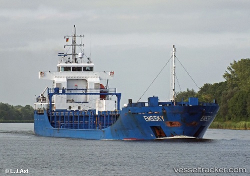
Vessel ELEONORA IMO: 9393785, MMSI: 209956000 General Cargo Ship
Live AIS position:
UTC. Near HARLINGEN),
updated 2025-11-14 06:58:37 UTC.
Find the position of the vessel ELEONORA on the map. The latter are known coordinates and path.
marine traffic ship tracker show on live map
The current position of vessel ELEONORA is 53.18949 lat / 5.43185 lng. Updated: 2025-11-14 06:58:37 UTCCurrently sailing under the flag of Cyprus
ELEONORA built in 2011 year
Deadweight:
6381 tDetails:
Last coordinates of the vessel:
2025-11-14 06:58:37 UTC, 53.18949, 5.43185, course: 206, speed: 0