 vesseltracker.com
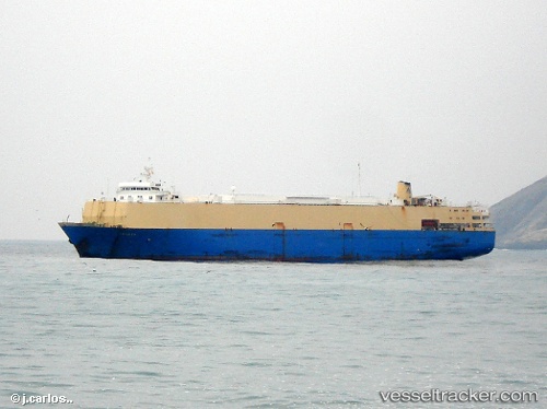
Vessel Elevation IMO: 7407324, MMSI: 450553000 Livestock Carrier
UTC, 38.01184, 7.31494, course: 336, speed: 1
UTC, 38.02374, 7.36902, course: 352, speed: 2.7
2026-02-08 14:04:45 UTC, 37.95236, 7.07291, course: 260, speed: 11.4
Live AIS position:
UTC. 53 nm NE of Huévar),
updated 2026-02-08 14:04:45 UTC.
Find the position of the vessel Elevation on the map. The latter are known coordinates and path.
marine traffic ship tracker show on live map
The current position of vessel Elevation is 37.95236 lat / 7.07291 lng. Updated: 2026-02-08 14:04:45 UTCCurrently sailing under the flag of Lebanon
Elevation built in 1976 year
Deadweight:
8405 tDetails:
Last coordinates of the vessel:
UTC, 38.01274, 7.24878, course: 326, speed: 2.2UTC, 38.01184, 7.31494, course: 336, speed: 1
UTC, 38.02374, 7.36902, course: 352, speed: 2.7
2026-02-08 14:04:45 UTC, 37.95236, 7.07291, course: 260, speed: 11.4