 vesseltracker.com
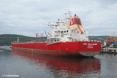
Vessel Elinda Mare IMO: 9490454, MMSI: 538008241 Bulk Carrier
Live AIS position:
UTC. Near Astoria),
updated 2025-12-17 00:01:37 UTC.
Find the position of the vessel Elinda Mare on the map. The latter are known coordinates and path.
marine traffic ship tracker show on live map
The current position of vessel Elinda Mare is 46.20640 lat / -123.80830 lng. Updated: 2025-12-17 00:01:37 UTCCurrently sailing under the flag of Marshall Is
Elinda Mare built in 2010 year
Deadweight:
79648 tDetails:
Last coordinates of the vessel:
2025-12-17 00:01:37 UTC, 46.20640, -123.80830, course: 93, speed: 0.9