 vesseltracker.com
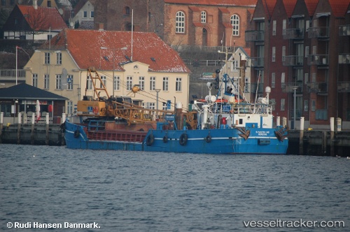
Live AIS position:
54.37330° N, 10.99010° E UTC. Near HEILIGENHAFEN),
updated 2025-11-23 19:31:00 UTC.
Find the position of the vessel Elisabeth Hoej on the map. The latter are known coordinates and path.
marine traffic ship tracker show on live map
The current position of vessel Elisabeth Hoej is 54.3733 lat / 10.9901 lng. Updated: 2025-11-23 19:31:00 UTCCurrently sailing under the flag of Denmark
Elisabeth Hoej built in 1969 year
Deadweight:
226 tDetails:
Last coordinates of the vessel:
UTC, 54.3984, 11.099, course: 148, speed: 0UTC, 54.3733, 10.9901, course: 279, speed: 0
UTC, 54.3733, 10.9901, course: 279, speed: 0
2025-11-23 19:31:00 UTC, 54.3733, 10.9901, course: 279, speed: 0