 vesseltracker.com
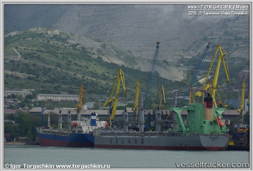
Vessel Ellenita IMO: 9685633, MMSI: 257902000 Bulk Carrier
UTC, 20.66167, 114.99500, course: -1, speed: 8
UTC, 20.73167, 115.12333, course: -1, speed: 8
2026-02-09 09:33:11 UTC, 20.88500, 115.41333, course: -1, speed: 8
Live AIS position:
UTC. 39 nm SE of Xijiang),
updated 2026-02-09 09:33:11 UTC.
Find the position of the vessel Ellenita on the map. The latter are known coordinates and path.
marine traffic ship tracker show on live map
The current position of vessel Ellenita is 20.88500 lat / 115.41333 lng. Updated: 2026-02-09 09:33:11 UTCDetails:
Last coordinates of the vessel:
UTC, 20.46167, 114.64167, course: -1, speed: 8UTC, 20.66167, 114.99500, course: -1, speed: 8
UTC, 20.73167, 115.12333, course: -1, speed: 8
2026-02-09 09:33:11 UTC, 20.88500, 115.41333, course: -1, speed: 8