 vesseltracker.com
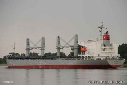
Vessel Elm K IMO: 9614294, MMSI: 373943000 General Cargo Ship
UTC, -7.80840, 119.49447, course: 86, speed: 12.9
UTC, -7.78002, 120.10087, course: 82, speed: 14.4
2026-02-09 06:45:51 UTC, -7.75582, 120.40945, course: 87, speed: 14.3
Live AIS position:
UTC. 34 nm N of Reo),
updated 2026-02-09 06:45:51 UTC.
Find the position of the vessel Elm K on the map. The latter are known coordinates and path.
marine traffic ship tracker show on live map
The current position of vessel Elm K is -7.75582 lat / 120.40945 lng. Updated: 2026-02-09 06:45:51 UTCDetails:
Last coordinates of the vessel:
UTC, -7.83631, 119.14380, course: 83, speed: 14.3UTC, -7.80840, 119.49447, course: 86, speed: 12.9
UTC, -7.78002, 120.10087, course: 82, speed: 14.4
2026-02-09 06:45:51 UTC, -7.75582, 120.40945, course: 87, speed: 14.3